The fjord and the beaches: our favourite places by the water
The fjord is what makes Flensburg special. It reaches from the harbour out to the open Baltic, with Germany on one shore and Denmark on the other. From Boutiquehotel Petuh it is 200 metres to the harbour tip.
These are the places by the water we love most, from the harbour on our doorstep to the beaches out on the fjord.
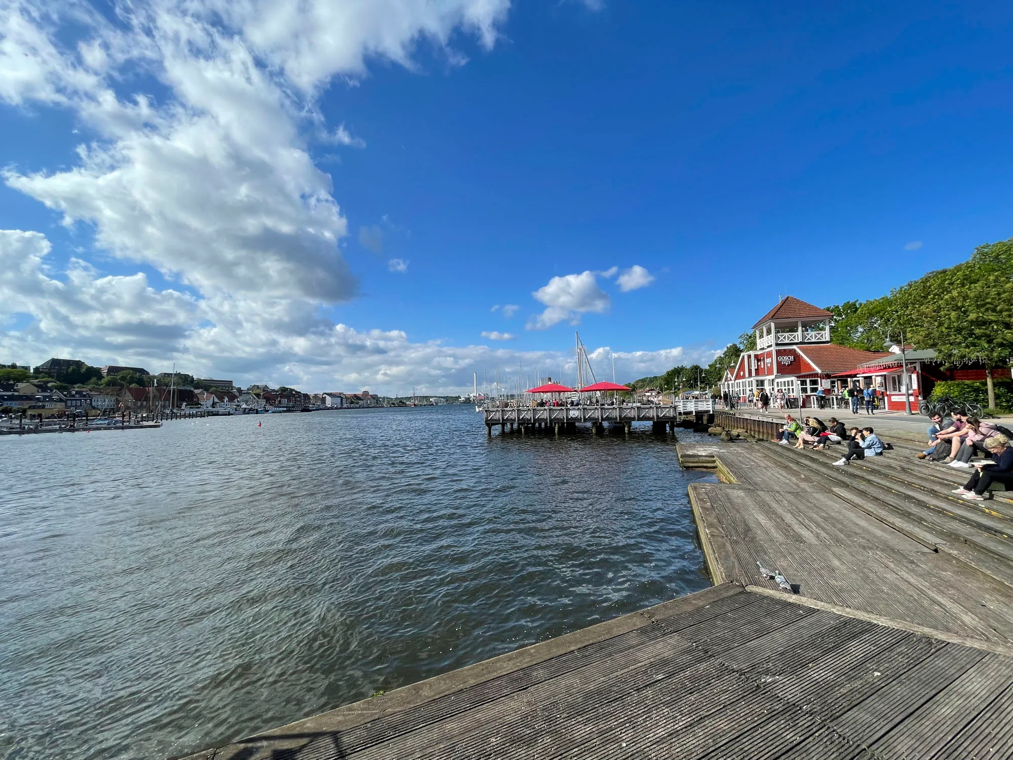
At the harbour
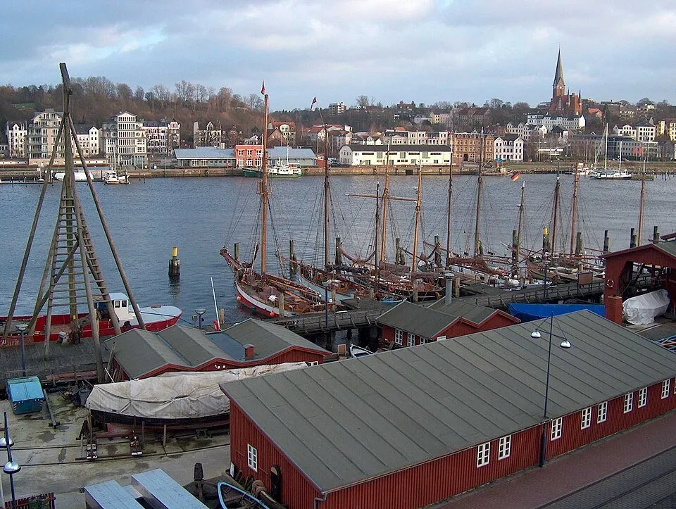
Historic harbour
Historic sailing ships and working boats line the western quay, looked after by volunteers. On warm evenings the locals sit on the quay wall at the Bohlwerk. Grab a drink and join them.
Website →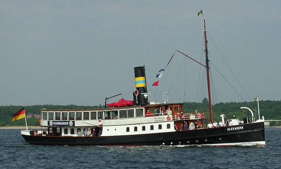
Steamer Alexandra
Built in 1908 and still under steam. From May to October the Alexandra takes passengers out on the fjord. Seats are in demand, so register in advance. Tickets are sold at the yellow pavilion by the steamer pier.
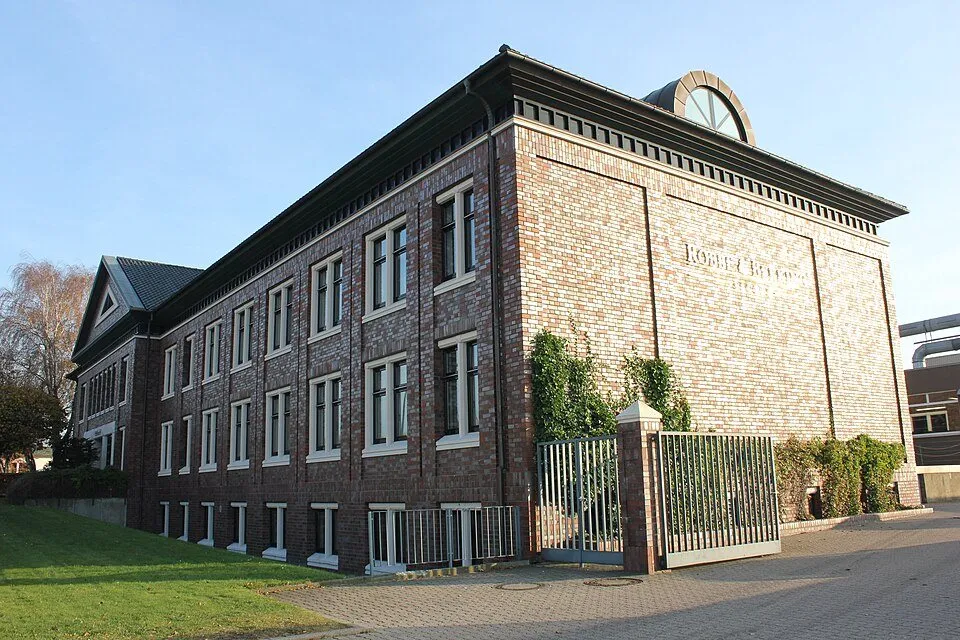
Yachting Heritage Centre
The museum next to the Robbe & Berking shipyard on the east shore shows exhibitions about life on the water and a large yachting library. Its restaurant offers one of the best views of the old town.
Website →Beaches in Flensburg
Three beaches lie within the town or just beyond. With an e-bike from our house you are there in a few minutes.
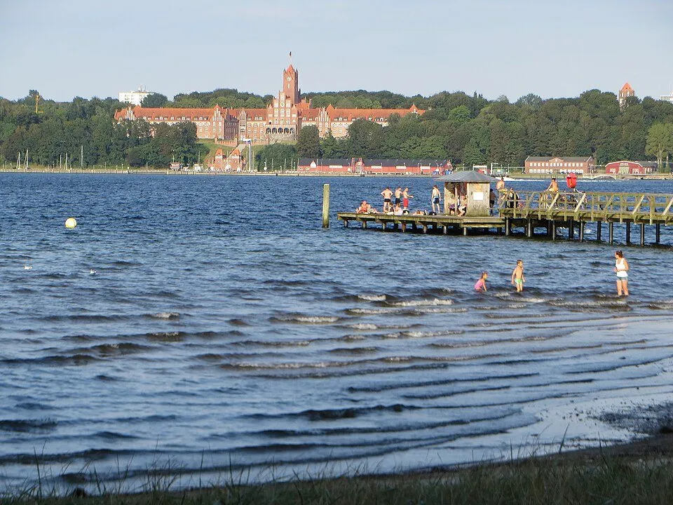
Ostseebad
A natural beach on the west shore with an old wooden jetty. Early swimmers meet here in the morning, and dogs are welcome too. Get up early and you will see the sun rise over the east shore.
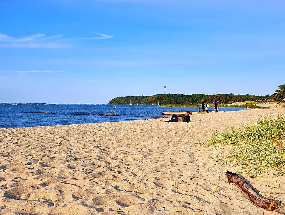
Solitüde
The town’s most popular beach on the east shore, with pale sand, a long bathing jetty and a view across to the Danish Ox Islands. In the evening the sun sets over the west shore.
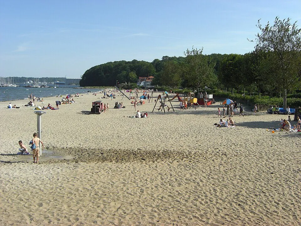
Wassersleben
A small beach in Harrislee, almost at the Danish border, looking across to Kollund. Nearby is the Schusterkate border bridge, one of the smallest border crossings in Europe.
Out on the fjord
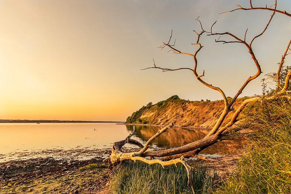
Holnis
The peninsula is the northernmost point of Germany’s Baltic coast. A narrow path leads over the cliff to the Holnis tip, with Denmark less than two kilometres away. A walk around the whole peninsula is about eleven kilometres, and much of it is a nature reserve.
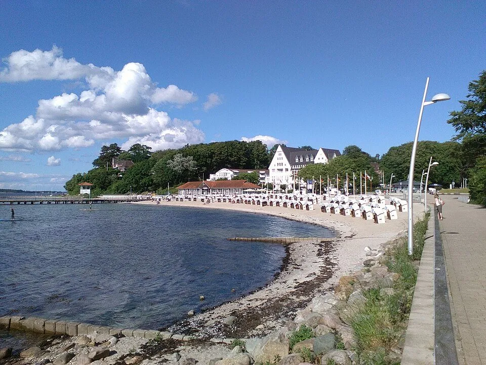
Sandwig beach in Glücksburg
The beach of the old seaside resort of Glücksburg, with a promenade and views across the fjord. Easy to combine with the moated castle, see our day trips guide.
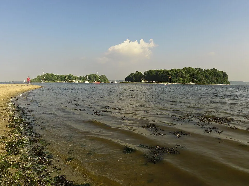
Ox Islands (Okseøerne)
Two small islands off the Danish shore. In season a small ferry crosses from Sønderhav to Store Okseø, where you will find a circular path and a restaurant. Times depend on the season, please check before you go.
On foot along the fjord
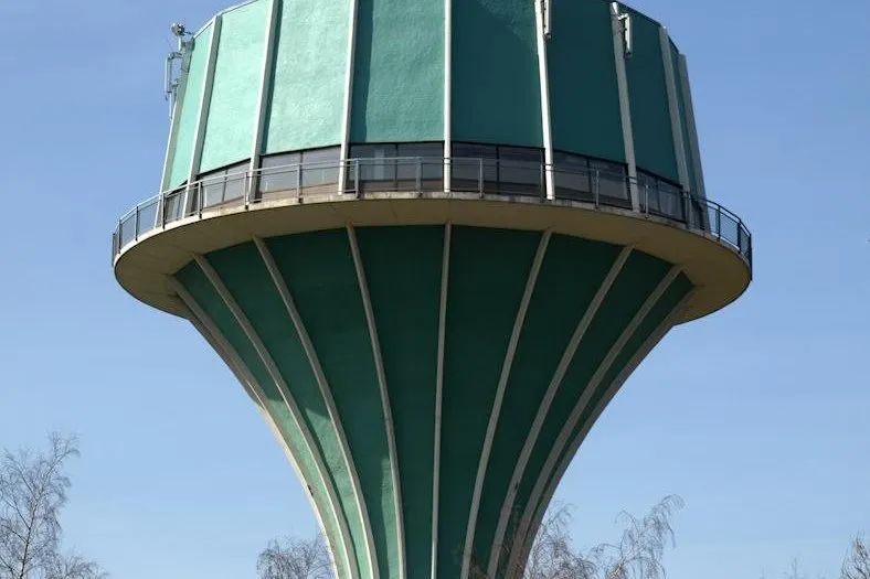
Volkspark and water tower
The largest park in town, on the east shore. In summer the Mürwik water tower opens as a lookout, with views across the fjord to Denmark.
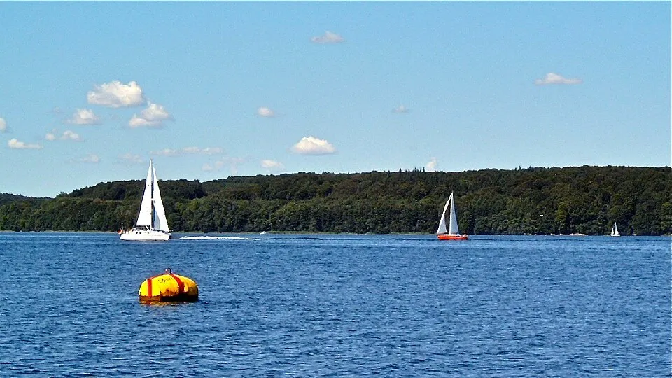
Fördesteig trail
Around 98 kilometres from the Schusterkate border bridge via Glücksburg, Holnis and Geltinger Birk to Kappeln, much of it right along the coast. For a day out, simply pick one stage.
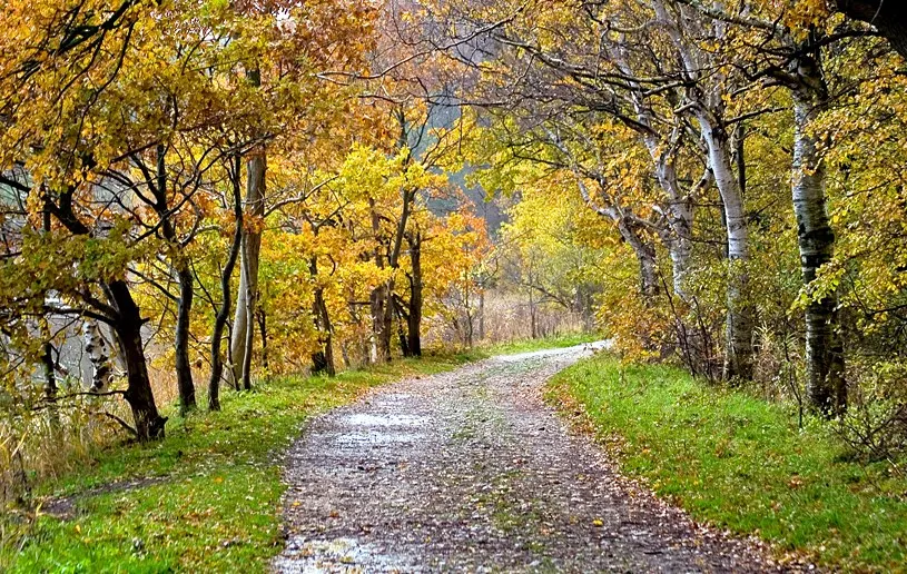
Gendarmstien
Follow the old patrol path of the Danish border gendarmes for 74 kilometres along the fjord to Høruphav on Als. Small wooden posts with the blue gendarme emblem mark the way.
Our guides
A weekend in Flensburg: our two-day plan
Friday to Sunday without rushing: harbour, merchant courtyards, the beach and homemade breakfast twice.
Old town on footFlensburg’s old town on foot: merchant courtyards, rum and hidden lanes
Merchant courtyards, rum history and lanes you only find if you know where to look.
Day tripsDay trips from Flensburg: castles, Denmark and wild nature
A moated castle, a royal garden and wild horses, all less than an hour away.